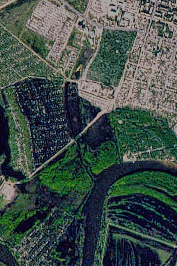
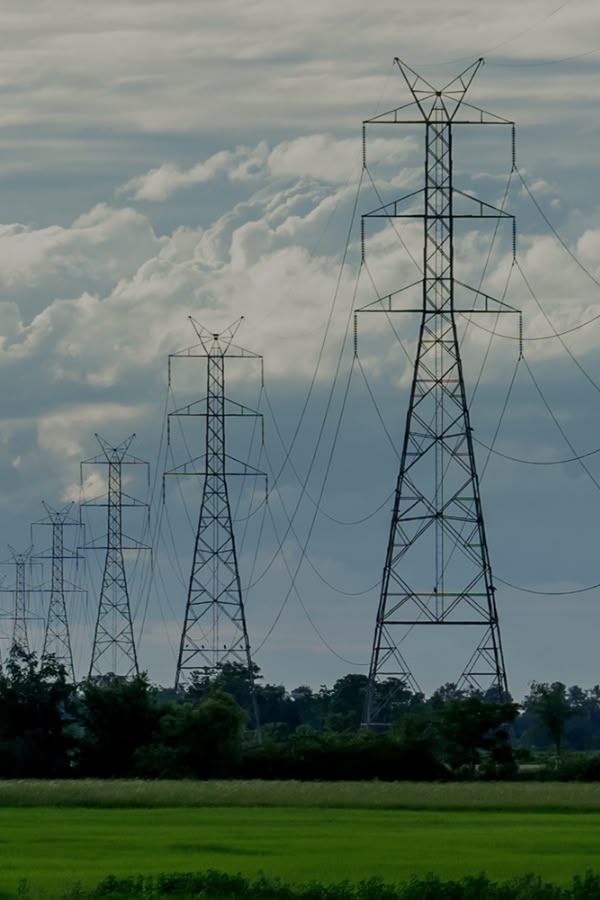
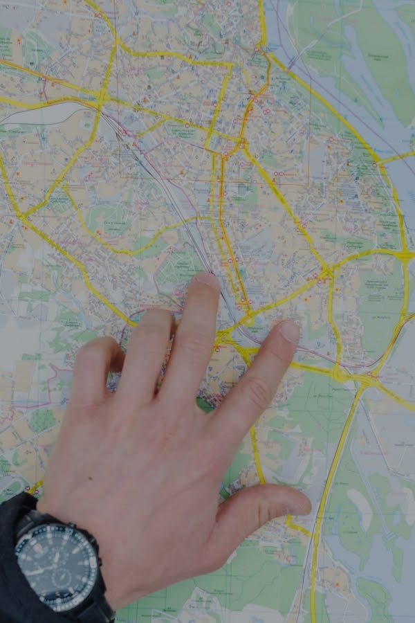
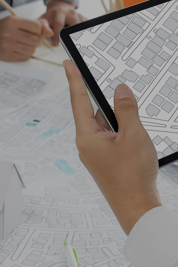
Our services Transport Transport Digital recording and management of roads, signage, parking and maintenance with real-time monitoring. Editing and data management - Processing and analysis of geographic data Editing and data management - Processing and analysis of geographic data Efficient data collection and evaluation in the map interface, advanced functions and exports, high quality information interface, API connection for better integration Digital Technical Infrastructure Editor Digital Technical Infrastructure Editor Comprehensive tools for managing, updating and publishing spatial data of technical infrastructure. Record-keeping and administration of property, taxes and duties Record-keeping and administration of property, taxes and duties Digital system for registration, management and optimization of immovable and movable assets in a map environment. Crisis Management Crisis Management GIS solutions for visualization, planning and management of interventions during emergencies. Management of cemeteries Management of cemeteries A digital system for managing cemeteries, grave sites and leases with map visualization and historical data. Publishing and visualizing data in a mapping environment Publishing and visualizing data in a mapping environment Tools for publishing, interactively displaying and sharing spatial data in web, mobile and GIS environments. Services for companies Services for companies GIS solutions for businesses to optimize distribution, logistics, customer analytics and strategic decision making. Governance and development for municipalities Governance and development for municipalities An integrated system for registration, planning, security and citizen engagement in cities and towns. Technical networks Technical networks Smartmap module for digital management, registration and planning of technical infrastructure, including connection to IoT. Printing maps Printing maps Service for professional cartographic preparation and printing of maps in various formats and themes for municipalities, companies and the state. Creation of cartographic outputs Creation of cartographic outputs Customised map products - from orthophotos and thematic maps to mobile imagery and historical comparisons. Basic geospatial registers Basic geospatial registers Linking property, parcel and address data with interactive maps for land management and decision making. Environment Environment Digital tools for managing green space, waste and environmental risks to improve sustainability and public health. Demographic analysis and map visualisations Demographic analysis and map visualisations Population structure analyses and their map visualization for better planning in education, health and regional development. Digitisation of interiors Digitisation of interiors Accurate digital records of building interiors with a focus on infrastructure, security and wayfinding.