


Back to services
Suitable for:
Municipality
City
Region
Company
Service description
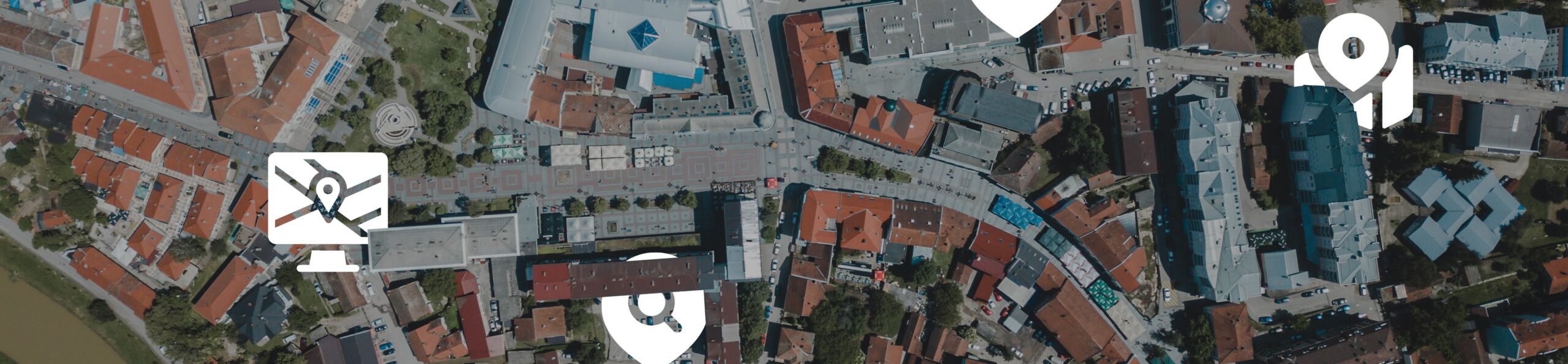
The basic geospatial registers provide key information on real estate, parcels and addresses in individual towns and cities. These data form the essential basis for efficient land management, decision-making processes and integration with the information systems of municipalities and private companies. The Smartmap platform provides a systematic link between these registers and the land registry and address registry, enabling fast and accurate searches.
Key features
- Digital cadastral data management - Quick access to up-to-date property, address and parcel data with precise location identification.
- Linking with registries - integration with land planning, tax registers and cadastral records with the possibility of parcel analysis, including their link to the assignment of fees and property taxes.
- Visualisation on interactive maps - a detailed view of the territorial units.
- Territorial decision-making - visualization and interpretation of spatial planning documents in a map environment.
- Note management - adding custom annotations to parcels, addresses and other elements.
- Map measurements and exports - tools for measuring, drawing and exporting selected territorial segments.
Examples of use
- City and municipal authorities - effective management of urban development projects, decision-making on new investments, control of tax obligations of property owners.
- Developers and real estate agents - Verification of the connection of the land to utilities, zoning and development options.
- Citizens - quick search of own plots, information about neighbouring properties and addresses.
Target group
- Local Government (city and municipal authorities) - efficient administration of the territory, registration and management of processes.
- Private sector (developers, real estate companies) - access to verified data for investment and planning.
- Citizens - transparent and up-to-date property data and the possibility to verify the information.