


Back to services
Suitable for:
Municipality
City
Region
Company
Service description
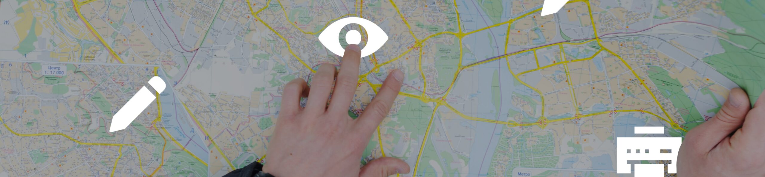
High-quality map printing is essential for planning, navigation and visualisation of geographic data. The map printing service enables the creation of detailed, high-resolution cartographic outputs tailored to specific customer requirements. Smartmap supports a variety of map types including cadastral, topographic, thematic and analytical maps. Outputs are available in both digital and printed formats, with the ability to customize scale, legend and graphic elements.
Key features
- Cartographic preparation of outputs - professional processing of maps according to customer requirements.
- High accuracy and legibility - printing from high-quality vector and raster substrates.
- Printing in different formats and scales - from small prints to large format maps, on various types of paper (A4 to A0+).
- Creation of thematic maps - data visualisation according to specific parameters (demographics, infrastructure, transport).
- Orthophoto and satellite images - integration of aerial and satellite imagery into mapping documents.
- Customized maps - creation of special outputs for urban planning, spatial planning and tourism.
- Individual content customisation - possibility to add logos, labels and graphic elements.
- Resistance of materials - possibility of lamination for long-term use in the field.
- Export to digital formats - PDF, TIFF, PNG for digital presentation and further processing.
Examples of real use
- Municipal Office - printing of land-use plans and cadastral maps for citizens and investors.
- Travel agencies - creation of hiking maps with routes and points of interest.
- Transport undertakings - visualisation of transport infrastructure and public transport routes.
- State institutions - Preparation of analytical maps for decision-making and crisis planning.
- Private companies - maps of business zones, service coverage and logistics optimisation.
Target groups
- City and municipal governments
- State institutions and spatial planning
- Tourist and travel agencies
- Transport and logistics companies
- Companies working with geographic data