- a progressive way of displaying and evaluating local government data in space
- an integrated solution linking information from all areas of competence of the Authority with the map
- a new perspective on the information processed, enabling the identification of reserves and further opportunities for exploitation
- deployment of the system is always preceded by a comprehensive analysis and consolidation of data so that subsequent analyses are based on factual information
Smartmap has a modular structure, which allows you to individually adjust its environment according to the needs of the municipality:
Basic environment
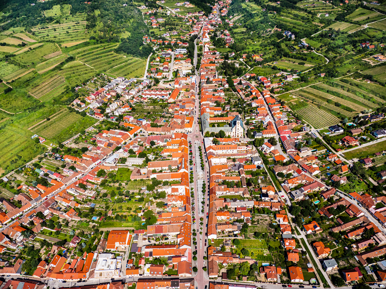
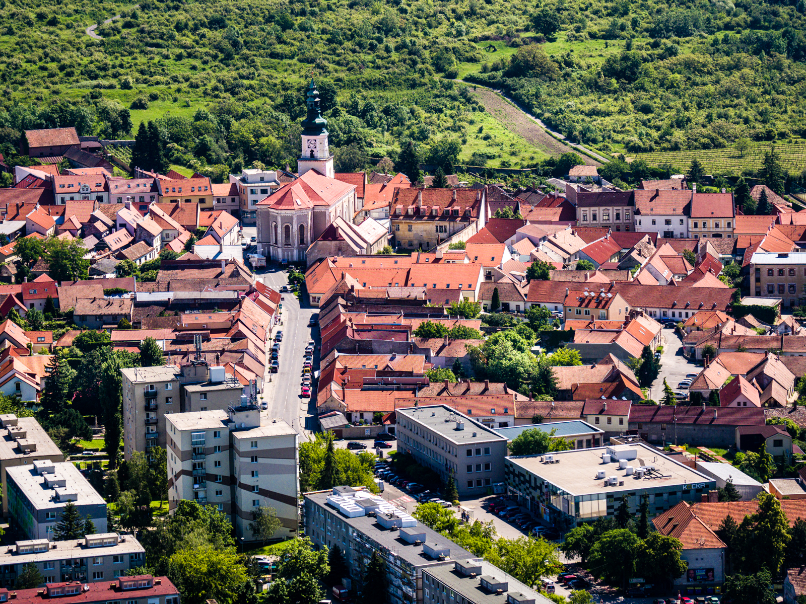
Smartmap is based on all relevant map and database data enabling fast visualization and analysis of local government data of interest - cadastral map, street system, locational register of address points (LoRAB®), orthophotomap. The scope of these layers is not limited and is continuously supplemented according to the needs
Population
quick and clear connection of the inhabitants living at the address, street, cadastre but also advanced analysis of the inhabitants in the area of interest, overall or by age groups
Waste management
Fast linking of MSW charges to the map, integration of separate waste collection. Evaluation of collection according to individual identification of bins (chip, QR code), integration of data for stands in residential areas
Dog fee
intergration of the data on the assessment of the dog fee into the map (address, street, corner), identification of the dog according to the tag, breed, chip. Identification of the number of dogs in the zones as a basis for the placement of excrement bins
Property tax
advanced consolidation and integration of data for the most comprehensive real estate tax assessment, realisation of the actual situation in the cadastral map, identification of irregularities and unassessed properties
Property
Smartmap user has at his disposal specialized layers of immovable property of the municipality/city and the Slovak Land Fund kept in the C or E cadastral register. Separate layers for any entity can be added as required.
Decisions of the building authority
A module for fast and convenient integration of SA decisions, which can then be accessed from the Smartmap mapping interface in an intuitive way and evaluated in a complex context. Smartmap also allows the integration of decisions of the Department of Environment or others according to the needs of the municipality
Ditching
A module for managing spatial data on excavations, from their authorisation to the end of the complaint period. It allows users to get an overall view of ongoing actions and the time entered, identify cut-off dates and visualize historical excavations as required.
Data integration in a single environment
Smartmap's comprehensive analytical environment is ready for extensive intergation of additional data, which can then be analysed in the full complexity of the territory. These are data from the land-use plan, technical network distribution, data from the traffic passport, green areas, lighting, cycling routes, etc. The system is also open for direct integration of map data provided via web services.
Creating your own spatial data
Smartmap allows users to create their own spatial data, which can then be used in the analysis of the area of interest, or to create new data that will become a standard part of Smartmap